


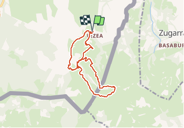

6.6 km | 8.9 km-effort

User


FREE GPS app for hiking
 SityTrail
IGN / Geographical institutes
SityTrail World
The world is yours!
Trail Walking of 8.2 km to be discovered at New Aquitaine, Pyrénées-Atlantiques, Sare. This trail is proposed by DECHAMPD.
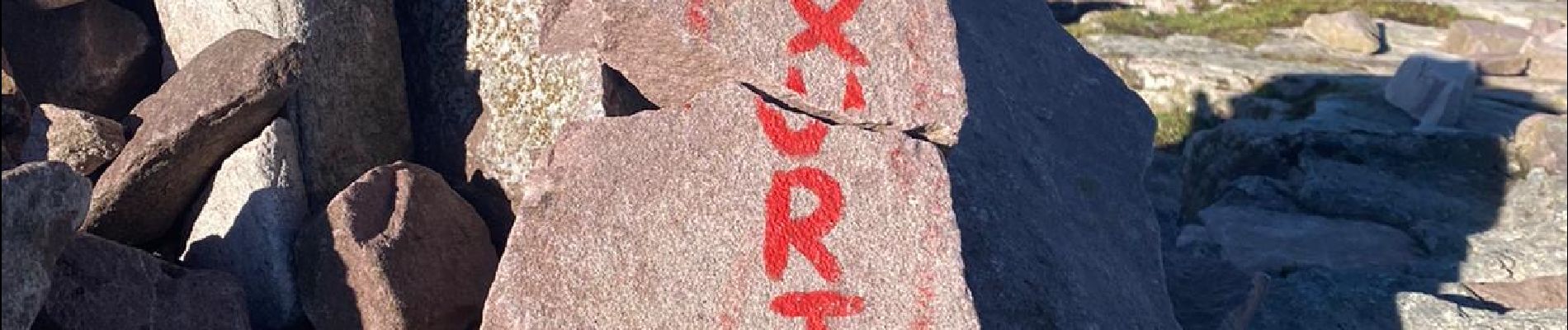
Pic Atxuria est aussi connu(e) comme Pena Plata, Peña Plata, Pic Peñia Plata Saiberri, depuis les grottes de Sare.
Ascension variée ce qui fut le dernier bastion de Zumalakarregi, pendant la 2e guerre Carliste, et qui, par beau temps, offre un superbe panorama.
Une centaine de mètre avant les grottes prendre à droite un chemin puis aussitôt à droite chemin empierré.
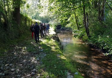
Le sentier longe l’Urioko Erreka que l’on traverse puis quelques dizaines de mètres plus loin on le retraverse en direction du col de Berroeta.
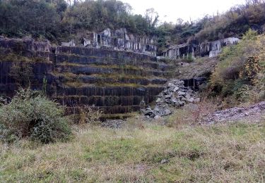
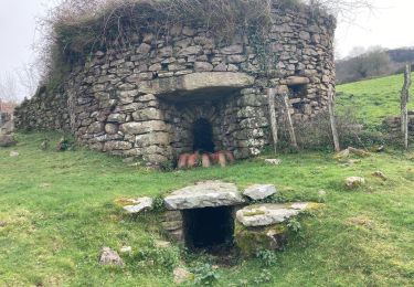
Derrière la bergerie auberge Loretxoa, nous pénétrons dans le ravin magique de Berrota et nous fraierons un chemin entre les géants de pierre régurgités par la barrière de l’Atxuria.
Le ravin vient buter contre l’Atxuria. On rejoint un sentier pour contourner les falaises par le sud (repère jaune) Ce chemin coïncide avec le GR14, et jusqu’au sommet (756m). Le sommet offre de très belles vues sur Baztan, Larun, etc. « ATTENTION au vent »
Le retour s’effectue directement en direction des carrières par une pente douce (herbes et rochers).


Walking
On foot
On foot

Walking

Walking
Walking
Walking
Walking
Walking