


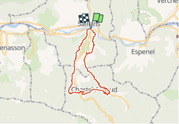


14.2 km | 23 km-effort

User


FREE GPS app for hiking
 SityTrail
IGN / Geographical institutes
SityTrail World
The world is yours!
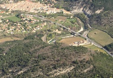
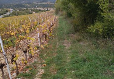
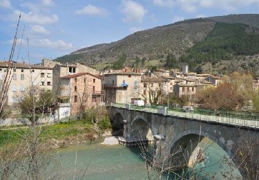
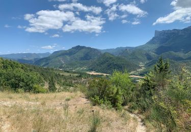
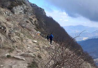
Trail Walking of 14.5 km to be discovered at Auvergne-Rhône-Alpes, Drôme, Saillans. This trail is proposed by AIGUIER.
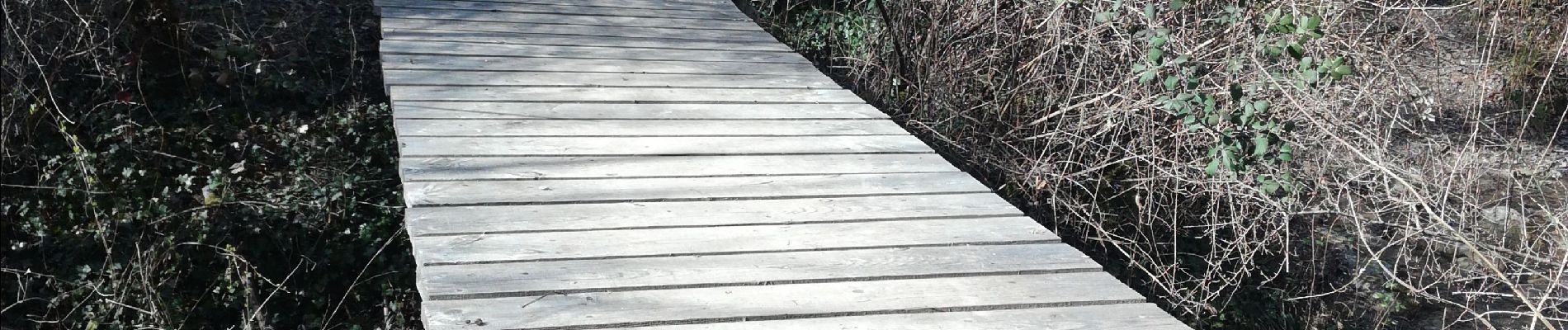
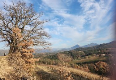
Rando du Châtaignier de Béllieux à Chastel-Arnaud, Village de Saillans,Vue sue les montagnes de Crestas, les 3 Becs et des rochers fantastiques. Nombreux sentiers agréables. Passage du hameau des Aubert. Majestueux Châtaignier. Traversée des ruisseaux sur passerèlles. Belle journée sous un beau soleil.


24 photos in total. Please click on a photo to see them all in the gallery.

Walking

Mountain bike
Walking
Walking
Walking
Walking
Walking
Walking
Walking