


Mont Estellier au départ de Bézaudun

aris
User


5h40
Difficulty : Medium

FREE GPS app for hiking
 SityTrail
IGN / Geographical institutes
SityTrail Plus
The world is yours!
About
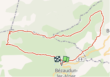
Trail Walking of 13.4 km to be discovered at Provence-Alpes-Côte d'Azur, Maritime Alps, Bézaudun-les-Alpes. This trail is proposed by aris.
Description
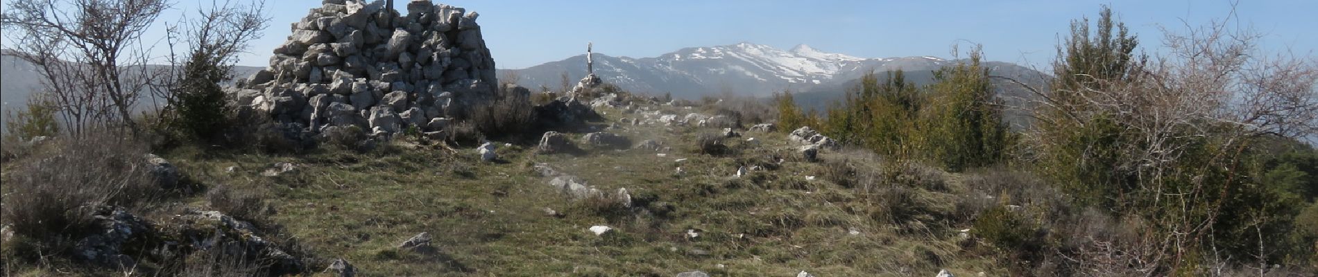
Boucle agréable avec une belle vue panoramique au sommet : vues sur le Mercantour, Mont Vial, Férion, Mont Agel, Mouton d'Anou, Baou de St Jeannet, Cheiron.
Retour par le canal de Végay qui évite de redescendre à Bouyon.
Photos


Positioning
Comments