


Marsannay la Côte 2021-03-02 repérage CAF

TRIMAILLE
User
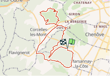

Length
23 km

Max alt
489 m

Uphill gradient
562 m
Km-Effort
30 km

Min alt
309 m

Downhill gradient
560 m
Boucle
Yes
Creation date :
2021-03-02 07:45:22.879
Updated on :
2021-03-02 18:01:25.567
4h39
Difficulty : Very easy

FREE GPS app for hiking
 SityTrail
IGN / Geographical institutes
SityTrail Plus
The world is yours!
About
Trail Walking of 23 km to be discovered at Bourgogne-Franche-Comté, Côte-d'Or, Marsannay-la-Côte. This trail is proposed by TRIMAILLE.
Description
IBP 74
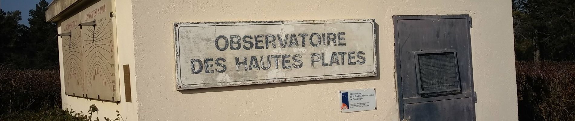
Photos


Positioning
Country:
France
Region :
Bourgogne-Franche-Comté
Department/Province :
Côte-d'Or
Municipality :
Marsannay-la-Côte
Location:
Unknown
Start:(Dec)
Start:(UTM)
649188 ; 5238410 (31T) N.
Comments
Bien