


correncon en Vercors

mouss65
User
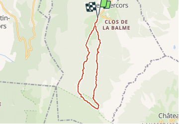

Length
12.6 km

Max alt
1673 m

Uphill gradient
537 m
Km-Effort
19.7 km

Min alt
1143 m

Downhill gradient
528 m
Boucle
Yes
Creation date :
2021-03-05 09:51:20.757
Updated on :
2021-03-05 14:08:51.982
3h43
Difficulty : Easy

FREE GPS app for hiking
 SityTrail
IGN / Geographical institutes
SityTrail Plus
The world is yours!
About
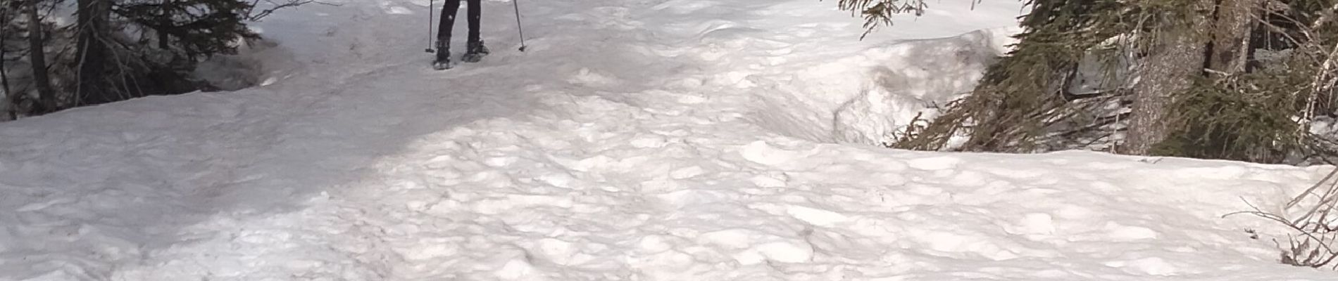
Trail Walking of 12.6 km to be discovered at Auvergne-Rhône-Alpes, Isère, Corrençon-en-Vercors. This trail is proposed by mouss65.
Photos


Positioning
Country:
France
Region :
Auvergne-Rhône-Alpes
Department/Province :
Isère
Municipality :
Corrençon-en-Vercors
Location:
Unknown
Start:(Dec)
Start:(UTM)
698359 ; 4988792 (31T) N.
Comments