


AR Valmondois Nesles

avdem
User

Length
8.3 km

Max alt
57 m

Uphill gradient
103 m
Km-Effort
9.6 km

Min alt
24 m

Downhill gradient
104 m
Boucle
Yes
Creation date :
2021-03-07 13:50:22.289
Updated on :
2021-03-07 15:37:15.777
1h46
Difficulty : Very easy

FREE GPS app for hiking
 SityTrail
IGN / Geographical institutes
SityTrail Plus
The world is yours!
About
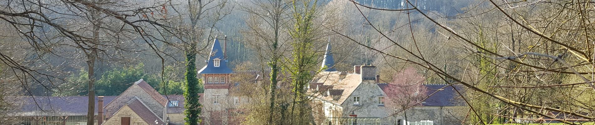
Trail Walking of 8.3 km to be discovered at Ile-de-France, Val-d'Oise, Butry-sur-Oise. This trail is proposed by avdem.
Description
facile
Photos


Positioning
Country:
France
Region :
Ile-de-France
Department/Province :
Val-d'Oise
Municipality :
Butry-sur-Oise
Location:
Unknown
Start:(Dec)
Start:(UTM)
441669 ; 5437938 (31U) N.
Comments