


Belvédère du ranc ( par la siva)

crocau
User
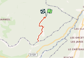

Length
5.2 km

Max alt
1185 m

Uphill gradient
171 m
Km-Effort
7.5 km

Min alt
1013 m

Downhill gradient
173 m
Boucle
Yes
Creation date :
2021-03-07 14:22:32.463
Updated on :
2021-03-07 16:15:08.594
1h43
Difficulty : Very easy

FREE GPS app for hiking
 SityTrail
IGN / Geographical institutes
SityTrail Plus
The world is yours!
About
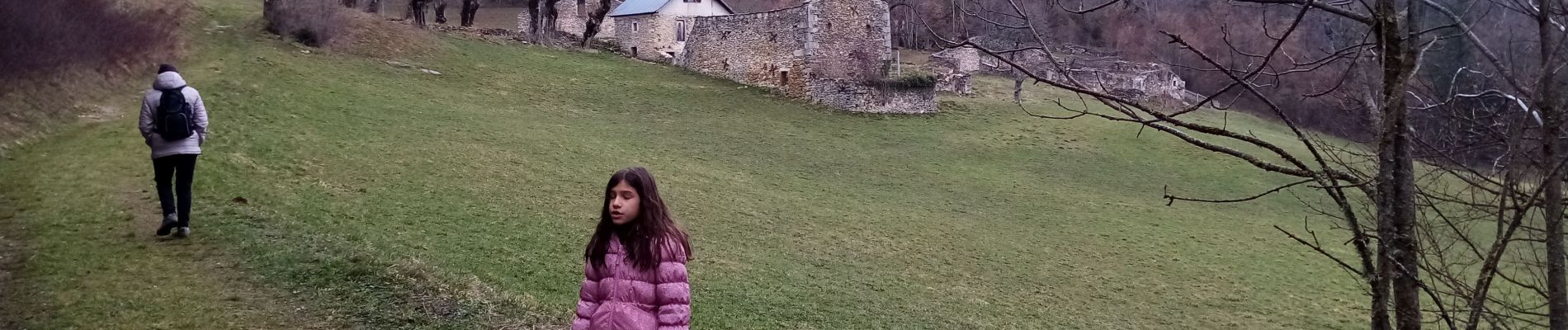
Trail Walking of 5.2 km to be discovered at Auvergne-Rhône-Alpes, Isère, Presles. This trail is proposed by crocau.
Photos
 - Photo 1")
 - Photo 2")
 - Photo 3")
 - Photo 4")
 - Photo 5")
 - Photo 6")
 - Photo 7")
 - Photo 8")
Positioning
Country:
France
Region :
Auvergne-Rhône-Alpes
Department/Province :
Isère
Municipality :
Presles
Location:
Unknown
Start:(Dec)
Start:(UTM)
691586 ; 4995107 (31T) N.
Comments