


Les Pins

Midochaux
User
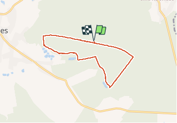

Length
6.2 km

Max alt
290 m

Uphill gradient
58 m
Km-Effort
7 km

Min alt
261 m

Downhill gradient
58 m
Boucle
Yes
Creation date :
2021-03-08 09:08:16.0
Updated on :
2021-03-08 10:42:40.423
1h32
Difficulty : Very easy

FREE GPS app for hiking
 SityTrail
IGN / Geographical institutes
SityTrail Plus
The world is yours!
About
Trail Walking of 6.2 km to be discovered at Wallonia, Hainaut, Momignies. This trail is proposed by Midochaux.
Description
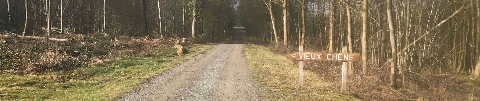
Dans les bois et en lisière
Photos


Positioning
Country:
Belgium
Region :
Wallonia
Department/Province :
Hainaut
Municipality :
Momignies
Location:
Macon
Start:(Dec)
Start:(UTM)
586092 ; 5542231 (31U) N.
Comments