


Custinne 080321

guyernage25
User
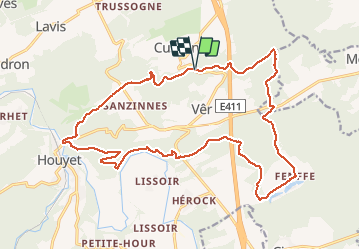

Length
21 km

Max alt
299 m

Uphill gradient
471 m
Km-Effort
27 km

Min alt
127 m

Downhill gradient
473 m
Boucle
Yes
Creation date :
2021-03-08 07:42:05.812
Updated on :
2021-03-08 12:53:12.588
4h37
Difficulty : Medium

FREE GPS app for hiking
 SityTrail
IGN / Geographical institutes
SityTrail Plus
The world is yours!
About
Trail Walking of 21 km to be discovered at Wallonia, Namur, Houyet. This trail is proposed by guyernage25.
Description
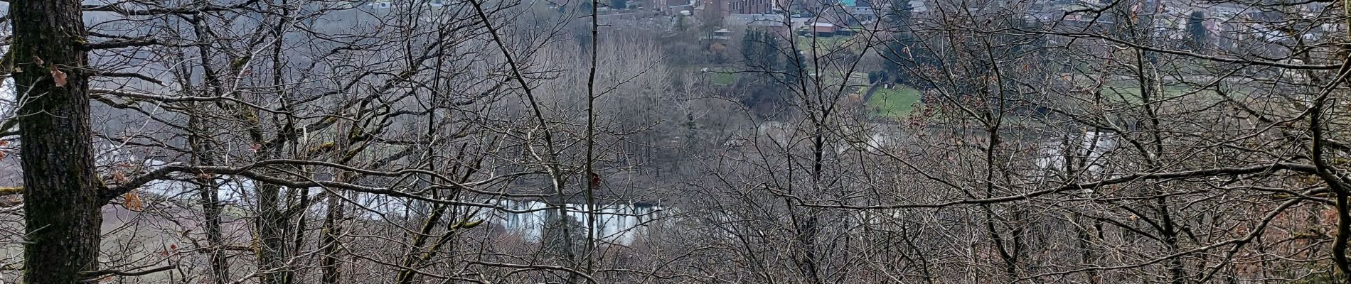
belle rando forestière
Photos


Positioning
Country:
Belgium
Region :
Wallonia
Department/Province :
Namur
Municipality :
Houyet
Location:
Custinne
Start:(Dec)
Start:(UTM)
646540 ; 5563638 (31U) N.
Comments