


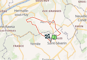
Liaison Saint Séverin- Aux Fontaines - Aux Houx

tatous
User

Length
10.2 km

Max alt
240 m

Uphill gradient
106 m
Km-Effort
11.6 km

Min alt
192 m

Downhill gradient
108 m
Boucle
Yes
Creation date :
2021-03-08 16:15:46.706
Updated on :
2021-03-08 16:23:20.451
2h37
Difficulty : Medium

FREE GPS app for hiking
 SityTrail
IGN / Geographical institutes
SityTrail Plus
The world is yours!
About
Trail Walking of 10.2 km to be discovered at Wallonia, Liège, Nandrin. This trail is proposed by tatous.
Positioning
Country:
Belgium
Region :
Wallonia
Department/Province :
Liège
Municipality :
Nandrin
Location:
Saint-Séverin
Start:(Dec)
Start:(UTM)
670410 ; 5600282 (31U) N.
Comments
Belle randonnée