


Mont-Morbié-Ste Reine_2021-03-10

Valmeinier
User


Length
12.3 km

Max alt
1535 m

Uphill gradient
902 m
Km-Effort
24 km

Min alt
786 m

Downhill gradient
899 m
Boucle
Yes
Creation date :
2021-03-11 06:46:01.581
Updated on :
2021-04-20 08:40:27.994
5h31
Difficulty : Medium

FREE GPS app for hiking
 SityTrail
IGN / Geographical institutes
SityTrail Plus
The world is yours!
About
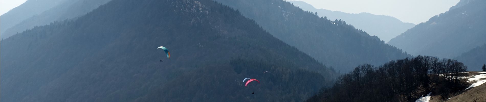
Trail Walking of 12.3 km to be discovered at Auvergne-Rhône-Alpes, Savoy, Sainte-Reine. This trail is proposed by Valmeinier.
Photos


Positioning
Country:
France
Region :
Auvergne-Rhône-Alpes
Department/Province :
Savoy
Municipality :
Sainte-Reine
Location:
Unknown
Start:(Dec)
Start:(UTM)
276892 ; 5054773 (32T) N.
Comments