


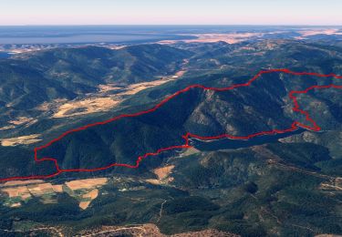
16.7 km | 25 km-effort


User


FREE GPS app for hiking
 SityTrail
IGN / Geographical institutes
SityTrail World
The world is yours!
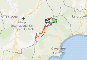
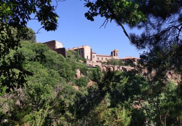
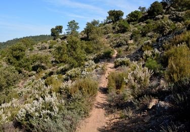
Trail Walking of 11.3 km to be discovered at Provence-Alpes-Côte d'Azur, Var, Cavalaire-sur-Mer. This trail is proposed by jean-marie.parachini.
panorama sur Cavalaire Golfe de Saint-Tropez et les îles d'Hyères par piste de Saint Ferreol oppidum de Montjean col des Tuiles et route Forestière des Pradels.


Walking
Walking

Walking
Walking
Walking
Mountain bike
Walking
Walking
Walking