


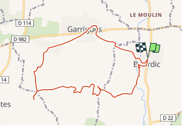

14.1 km | 17.3 km-effort


User


FREE GPS app for hiking
 SityTrail
IGN / Geographical institutes
SityTrail World
The world is yours!
Trail Walking of 10.8 km to be discovered at Occitania, Gard, Bourdic. This trail is proposed by caroline116.
RDV au parking de la cave Chabrier et Fils (se garer au tout début afin de ne pas gêner le stationnement pour la vente) - Chemin du Grès.
Attention, il ne s’agit pas de la cave coopérative les Collines du Bourdic mais celle un tout petit peu plus loin le long de la D136.
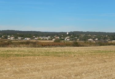
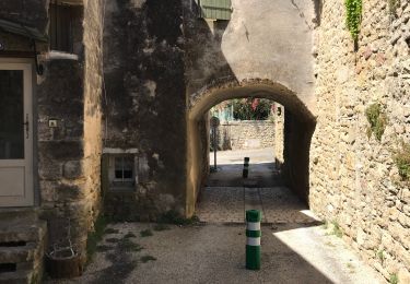
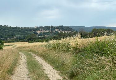
Bourdic village
vignobles
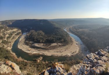
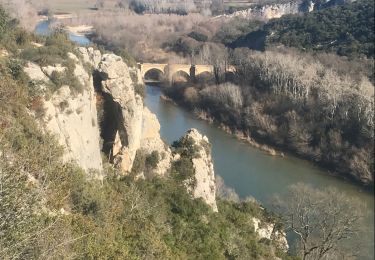
Rochers sculptés
Tombes rupestres
Ste Eulalie
Garrigues le pigeonnier
Walking

Walking
Walking
Walking
Mountain bike
Walking
Walking
Walking
Walking