


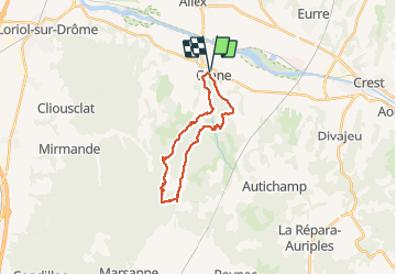
Grane

raygautier
User

Length
21 km

Max alt
479 m

Uphill gradient
603 m
Km-Effort
29 km

Min alt
154 m

Downhill gradient
604 m
Boucle
Yes
Creation date :
2021-03-16 08:17:04.0
Updated on :
2021-03-16 14:18:18.038
5h59
Difficulty : Unknown

FREE GPS app for hiking
 SityTrail
IGN / Geographical institutes
SityTrail Plus
The world is yours!
About
Trail Walking of 21 km to be discovered at Auvergne-Rhône-Alpes, Drôme, Grane. This trail is proposed by raygautier.
Positioning
Country:
France
Region :
Auvergne-Rhône-Alpes
Department/Province :
Drôme
Municipality :
Grane
Location:
Unknown
Start:(Dec)
Start:(UTM)
652423 ; 4955018 (31T) N.
Comments