


CENVES

JacouBrijou
User
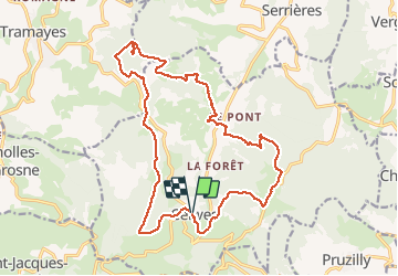

Length
19.7 km

Max alt
752 m

Uphill gradient
816 m
Km-Effort
31 km

Min alt
377 m

Downhill gradient
810 m
Boucle
Yes
Creation date :
2021-03-16 07:23:24.663
Updated on :
2021-03-16 17:23:17.615
5h53
Difficulty : Easy

FREE GPS app for hiking
 SityTrail
IGN / Geographical institutes
SityTrail Plus
The world is yours!
About
Trail Walking of 19.7 km to be discovered at Auvergne-Rhône-Alpes, Rhône, Cenves. This trail is proposed by JacouBrijou.
Description
20km
Positioning
Country:
France
Region :
Auvergne-Rhône-Alpes
Department/Province :
Rhône
Municipality :
Cenves
Location:
Unknown
Start:(Dec)
Start:(UTM)
627165 ; 5125202 (31T) N.
Comments