


Cruet-2021-03-22

Valmeinier
User
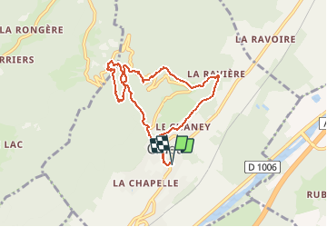

Length
7.7 km

Max alt
755 m

Uphill gradient
465 m
Km-Effort
13.9 km

Min alt
345 m

Downhill gradient
465 m
Boucle
Yes
Creation date :
2021-03-23 05:10:42.193
Updated on :
2021-03-23 05:26:49.951
3h09
Difficulty : Easy

FREE GPS app for hiking
 SityTrail
IGN / Geographical institutes
SityTrail Plus
The world is yours!
About
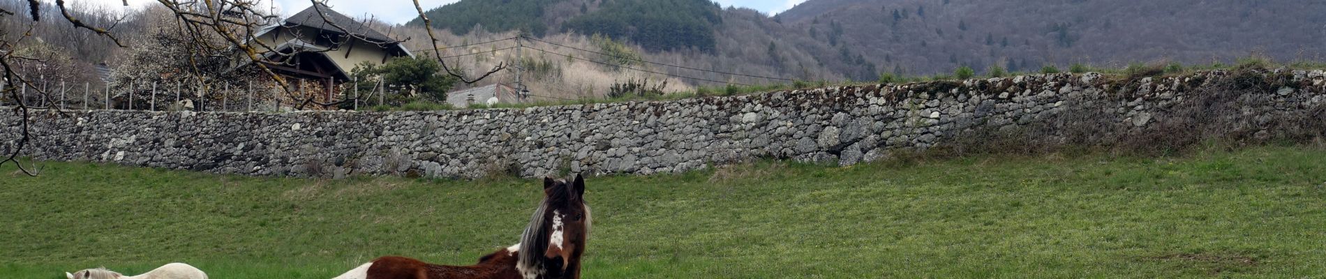
Trail Walking of 7.7 km to be discovered at Auvergne-Rhône-Alpes, Savoy, Cruet. This trail is proposed by Valmeinier.
Photos


Positioning
Country:
France
Region :
Auvergne-Rhône-Alpes
Department/Province :
Savoy
Municipality :
Cruet
Location:
Unknown
Start:(Dec)
Start:(UTM)
272999 ; 5045441 (32T) N.
Comments