


Vérel-2021-03-24

Valmeinier
User
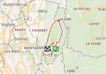

Length
12.2 km

Max alt
1160 m

Uphill gradient
665 m
Km-Effort
21 km

Min alt
554 m

Downhill gradient
670 m
Boucle
Yes
Creation date :
2021-03-24 19:12:01.377
Updated on :
2021-04-01 05:25:09.345
4h47
Difficulty : Medium

FREE GPS app for hiking
 SityTrail
IGN / Geographical institutes
SityTrail Plus
The world is yours!
About
Trail Walking of 12.2 km to be discovered at Auvergne-Rhône-Alpes, Savoy, Verel-Pragondran. This trail is proposed by Valmeinier.
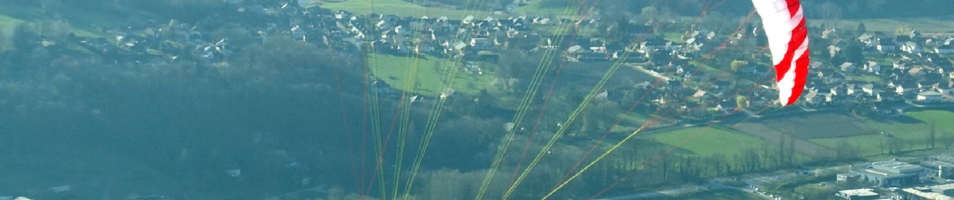
Photos


Positioning
Country:
France
Region :
Auvergne-Rhône-Alpes
Department/Province :
Savoy
Municipality :
Verel-Pragondran
Location:
Unknown
Start:(Dec)
Start:(UTM)
729892 ; 5054594 (31T) N.
Comments