


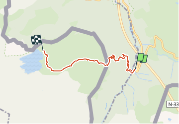

10.4 km | 19.6 km-effort


User


FREE GPS app for hiking
 SityTrail
IGN / Geographical institutes
SityTrail World
The world is yours!
Trail Walking of 4.8 km to be discovered at New Aquitaine, Pyrénées-Atlantiques, Urdos. This trail is proposed by neoroll44.
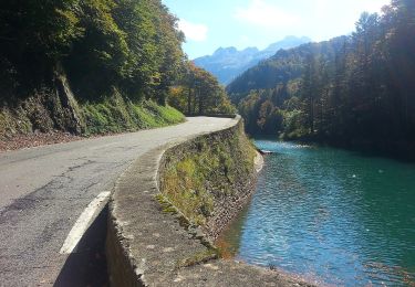
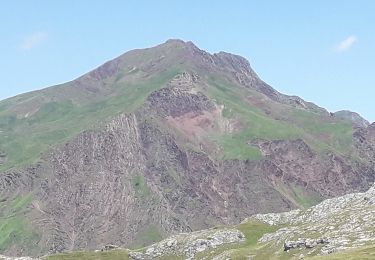
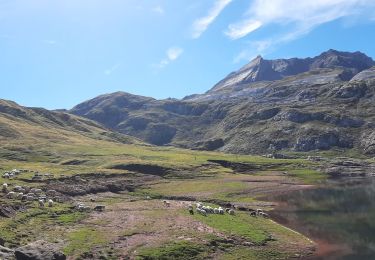
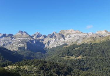
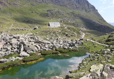
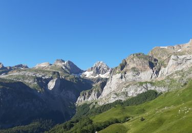
Une randonnée agréable à travers forêt et pelouses faciles, un beau point de vue sur la Haute Vallée au cœur du Parc National des Pyrénées (côté français), et le lac sur lequel plane le mystère de la légende de la Saint-Jean.

On foot
On foot
On foot

Walking
Walking
Walking
Walking
Walking
Walking