


taillefer Diois depuis lescoulin

guyzinz
User


Length
13.5 km

Max alt
921 m

Uphill gradient
648 m
Km-Effort
22 km

Min alt
504 m

Downhill gradient
645 m
Boucle
Yes
Creation date :
2021-03-28 07:57:51.636
Updated on :
2021-03-29 09:44:00.551
5h51
Difficulty : Medium

FREE GPS app for hiking
 SityTrail
IGN / Geographical institutes
SityTrail Plus
The world is yours!
About
Trail Walking of 13.5 km to be discovered at Auvergne-Rhône-Alpes, Drôme, Eygluy-Escoulin. This trail is proposed by guyzinz.
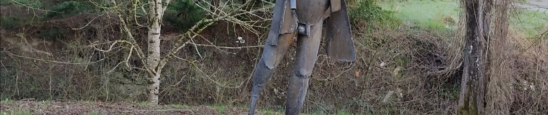
Photos


Positioning
Country:
France
Region :
Auvergne-Rhône-Alpes
Department/Province :
Drôme
Municipality :
Eygluy-Escoulin
Location:
Unknown
Start:(Dec)
Start:(UTM)
675627 ; 4963470 (31T) N.
Comments