


8.3 km | 11.7 km-effort

User


FREE GPS app for hiking
 SityTrail
IGN / Geographical institutes
SityTrail World
The world is yours!
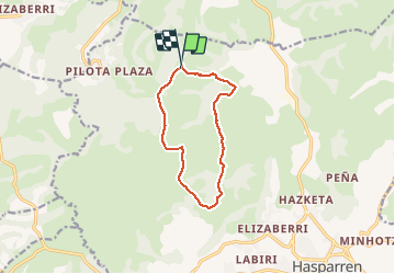
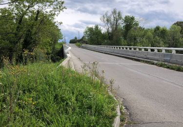
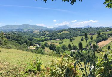
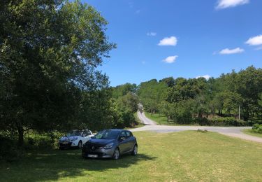
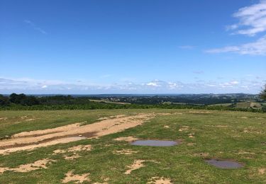
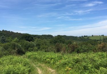
Trail On foot of 10.5 km to be discovered at New Aquitaine, Pyrénées-Atlantiques, Hasparren. This trail is proposed by jaja64.
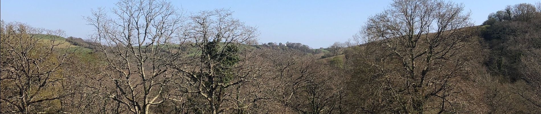
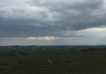
Boucle facile. Visuel exceptionnel du Jean Pierre aux 3 couronnes. L’Anie; le Baigura; L’ursuya; L’artzamendi; mondarrain ; Errebi et Rhune et j’en passe. Tout y est depuis en bas ;)


Walking
Walking
Walking

Walking
Walking
Walking
Walking
Walking
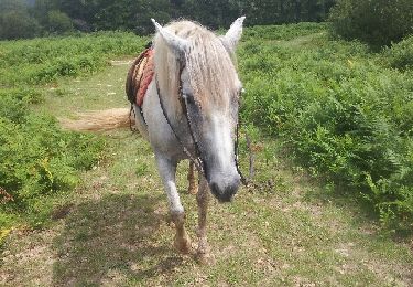
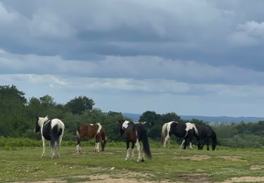
Equestrian