


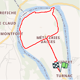

13.7 km | 18.9 km-effort

User


FREE GPS app for hiking
 SityTrail
IGN / Geographical institutes
SityTrail World
The world is yours!
Trail Walking of 4.7 km to be discovered at New Aquitaine, Dordogne, Domme. This trail is proposed by Ajax44.
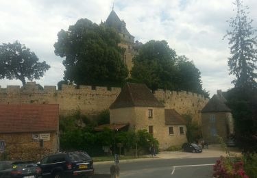
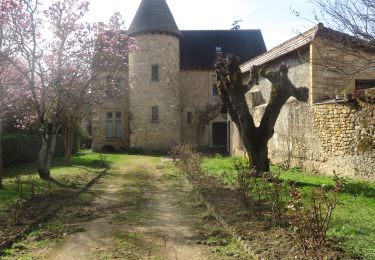
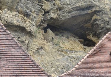
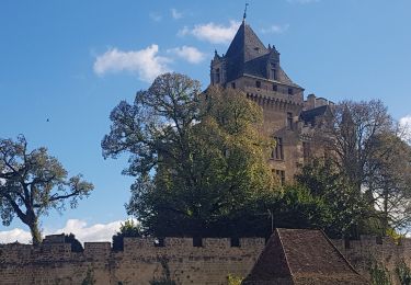
Boucle dans le Cingle de Monfort, vue du chateau de monfort du lit de la Dordogne
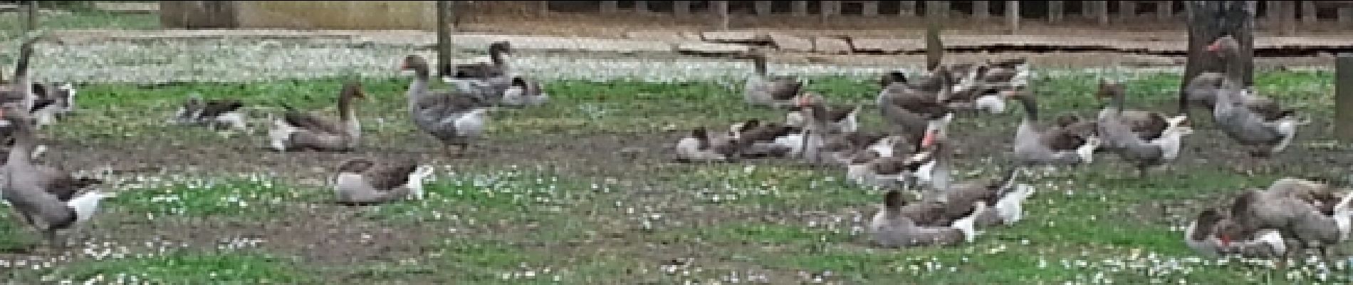
Possibilité de parking a la ferme


Walking
Walking

Walking
Walking
Walking
Walking

Road bike
Road bike
Walking