


Rochefort en terre

nolsim
User
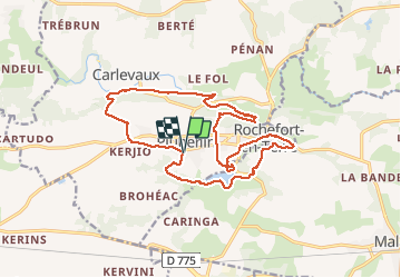

Length
17.5 km

Max alt
87 m

Uphill gradient
296 m
Km-Effort
21 km

Min alt
19 m

Downhill gradient
296 m
Boucle
Yes
Creation date :
2021-03-30 07:30:56.986
Updated on :
2021-03-30 12:45:05.973
4h01
Difficulty : Medium

FREE GPS app for hiking
 SityTrail
IGN / Geographical institutes
SityTrail Plus
The world is yours!
About
Trail Walking of 17.5 km to be discovered at Brittany, Morbihan, Pluherlin. This trail is proposed by nolsim.
Description
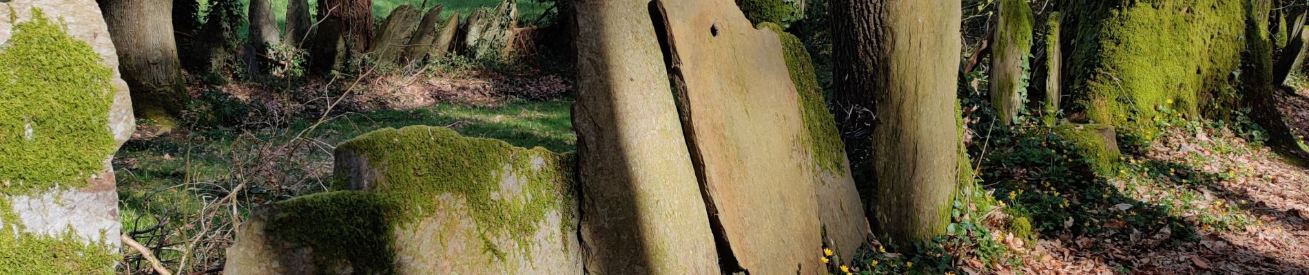
très belle randonnée aux paysages très variés
Photos


22 photos in total. Please click on a photo to see them all in the gallery.
Positioning
Country:
France
Region :
Brittany
Department/Province :
Morbihan
Municipality :
Pluherlin
Location:
Unknown
Start:(Dec)
Start:(UTM)
547751 ; 5282705 (30T) N.
Comments