


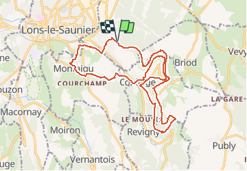
Perrigny Montaigu Conliége (IBP 84) 30 mars 2021

TRIMAILLE
User


6h32
Difficulty : Difficult

FREE GPS app for hiking
 SityTrail
IGN / Geographical institutes
SityTrail Plus
The world is yours!
About
Trail Walking of 22 km to be discovered at Bourgogne-Franche-Comté, Jura, Perrigny. This trail is proposed by TRIMAILLE.
Description
Départ du parking du cimetière de Pérrigny. Randonnée à travers les jolis villages de Montaigu, Vatagna, Conliege. Parcours empruntant l'ancienne voie ferrée, sa gare ses tunnels et ses ponts. Quelques belvédères; Passage à l'hermitage.
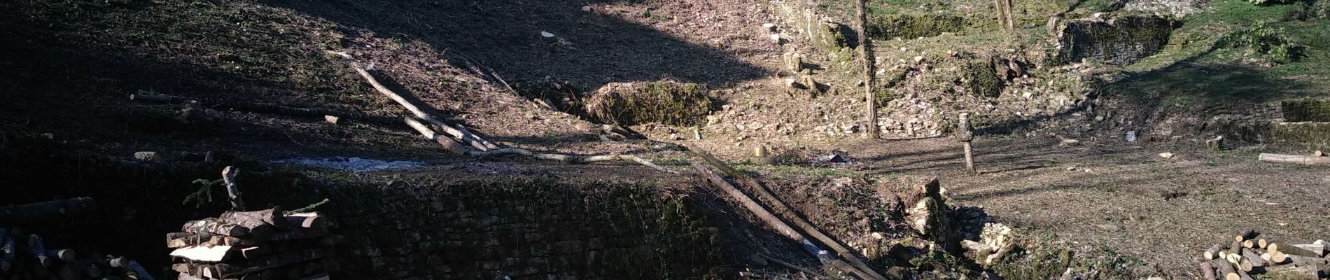
Photos
 30 mars 2021 - Photo 1")
 30 mars 2021 - Photo 2")
 30 mars 2021 - Photo 3")
 30 mars 2021 - Photo 4")
 30 mars 2021 - Photo 5")
 30 mars 2021 - Photo 6")
 30 mars 2021 - Photo 7")
 30 mars 2021 - Photo 8")
 30 mars 2021 - Photo 9")
 30 mars 2021 - Photo 10")
 30 mars 2021 - Photo 11")
 30 mars 2021 - Photo 12")
 30 mars 2021 - Photo 13")
 30 mars 2021 - Photo 14")
 30 mars 2021 - Photo 15")
 30 mars 2021 - Photo 16")
 30 mars 2021 - Photo 17")
Positioning
Comments