


La table de peraclos

Gegetop
User


Length
14.7 km

Max alt
505 m

Uphill gradient
470 m
Km-Effort
21 km

Min alt
326 m

Downhill gradient
468 m
Boucle
Yes
Creation date :
2021-03-30 10:39:29.761
Updated on :
2021-03-30 15:38:39.054
4h30
Difficulty : Difficult
4h05
Difficulty : Difficult

FREE GPS app for hiking
 SityTrail
IGN / Geographical institutes
SityTrail Plus
The world is yours!
About
Trail Walking of 14.7 km to be discovered at Auvergne-Rhône-Alpes, Allier, Chouvigny. This trail is proposed by Gegetop.
Description
La boucle est très marquée par plusieurs dénivelés, plus de 900m de dénivelé cumulé.
Le paysage est très agréable surtout au printemps.
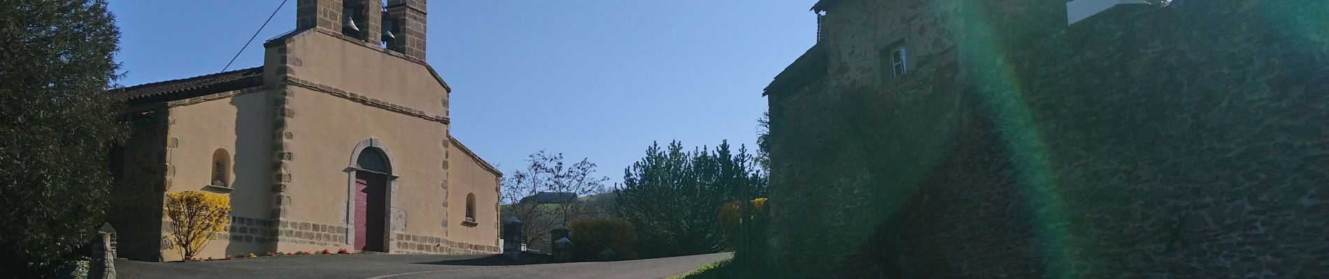
Photos


Positioning
Country:
France
Region :
Auvergne-Rhône-Alpes
Department/Province :
Allier
Municipality :
Chouvigny
Location:
Unknown
Start:(Dec)
Start:(UTM)
499204 ; 5108195 (31T) N.
Comments