Graux 010421

guyernage25
User
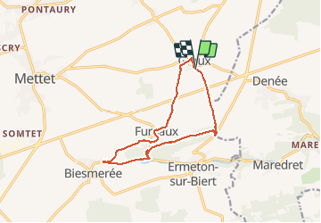

Length
11.2 km

Max alt
279 m

Uphill gradient
158 m
Km-Effort
13.3 km

Min alt
214 m

Downhill gradient
158 m
Boucle
Yes
Creation date :
2021-04-01 09:07:17.9
Updated on :
2021-04-01 12:19:00.78
2h53
Difficulty : Easy

FREE GPS app for hiking
 SityTrail
IGN / Geographical institutes
SityTrail Plus
The world is yours!
About
Trail Walking of 11.2 km to be discovered at Wallonia, Namur, Mettet. This trail is proposed by guyernage25.
Description
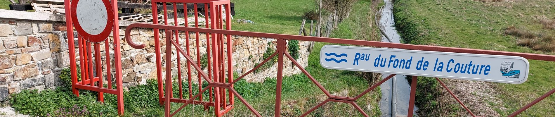
beaux paysages ruraux de l Entre Sambre et Meuse autour de Furnaux
Photos


Positioning
Country:
Belgium
Region :
Wallonia
Department/Province :
Namur
Municipality :
Mettet
Location:
Graux
Start:(Dec)
Start:(UTM)
622487 ; 5576006 (31U) N.
Comments