


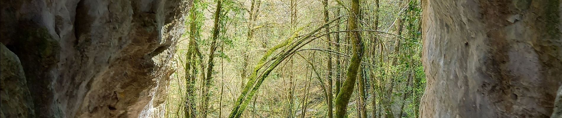
Savigny les Beaune roche percée+ abbaye sainte Marguerite page 24

grasgilbert
User
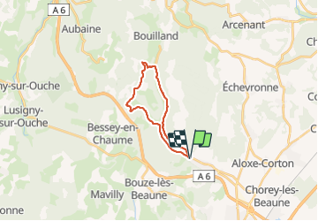

Length
16.9 km

Max alt
534 m

Uphill gradient
389 m
Km-Effort
22 km

Min alt
275 m

Downhill gradient
389 m
Boucle
Yes
Creation date :
2021-04-03 08:14:55.772
Updated on :
2021-08-05 15:28:19.777
6h31
Difficulty : Difficult

FREE GPS app for hiking
 SityTrail
IGN / Geographical institutes
SityTrail Plus
The world is yours!
About
Trail Walking of 16.9 km to be discovered at Bourgogne-Franche-Comté, Côte-d'Or, Savigny-lès-Beaune. This trail is proposed by grasgilbert.
Description
1er avril enormément d'ail des ours
Photos


Positioning
Country:
France
Region :
Bourgogne-Franche-Comté
Department/Province :
Côte-d'Or
Municipality :
Savigny-lès-Beaune
Location:
Unknown
Start:(Dec)
Start:(UTM)
636886 ; 5214299 (31T) N.
Comments