


Floreffe Franiere Soye

flouzer
User
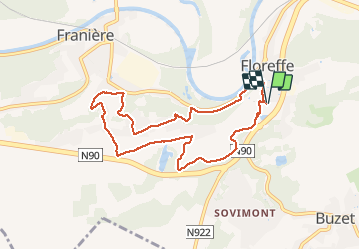

Length
7.7 km

Max alt
190 m

Uphill gradient
240 m
Km-Effort
10.9 km

Min alt
85 m

Downhill gradient
241 m
Boucle
Yes
Creation date :
2021-04-03 12:53:22.161
Updated on :
2021-04-03 14:52:37.898
1h58
Difficulty : Easy

FREE GPS app for hiking
 SityTrail
IGN / Geographical institutes
SityTrail Plus
The world is yours!
About
Trail Walking of 7.7 km to be discovered at Wallonia, Namur, Floreffe. This trail is proposed by flouzer.
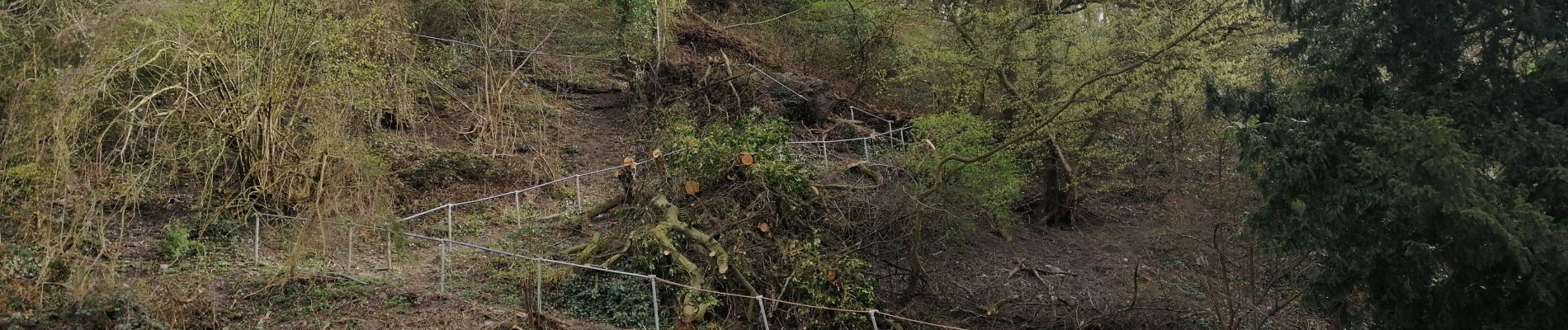
Photos


Positioning
Country:
Belgium
Region :
Wallonia
Department/Province :
Namur
Municipality :
Floreffe
Location:
Floreffe
Start:(Dec)
Start:(UTM)
625006 ; 5588199 (31U) N.
Comments