


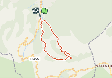

12.7 km | 20 km-effort

User GUIDE


FREE GPS app for hiking
 SityTrail
IGN / Geographical institutes
SityTrail World
The world is yours!
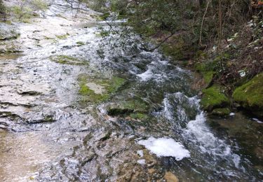
Trail Walking of 7.3 km to be discovered at Provence-Alpes-Côte d'Azur, Bouches-du-Rhône, Auriol. This trail is proposed by amiral13.
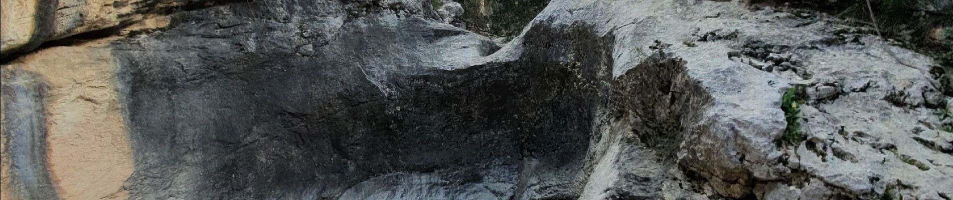
attention, certains passages ne sont réalisables qu'en période sèche, car le chemin suit le fond du ravin; l'utilisation des mains est parfois nécessaire en particulier sur le contournement d'une marmite (corde fixe en place).


Walking

Walking

Walking

Walking

On foot
Walking
Walking
Walking

Walking