


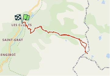

6.4 km | 12.9 km-effort

User


FREE GPS app for hiking
 SityTrail
IGN / Geographical institutes
SityTrail World
The world is yours!
Trail Snowshoes of 10.2 km to be discovered at Provence-Alpes-Côte d'Azur, Maritime Alps, Belvédère. This trail is proposed by aris.
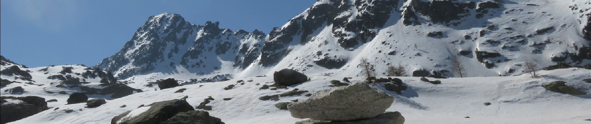
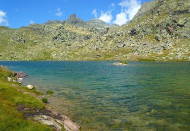
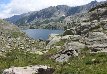
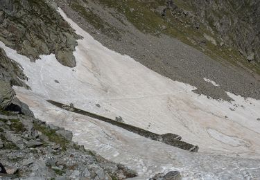
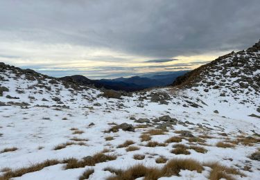
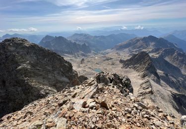
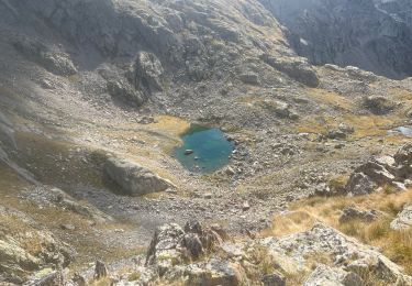
Premières neiges vers 1850m. Chaussé les crampons à l'entrée du vallon des Verrairiers (vers 2200m). La neige est assez dure. Le vallon enneigé est magnifique. Au col, vue sur le lac du du Diable enneigé. Redescente en raquettes, la neige a ramolli. Cette balade est bien propice aux raquettes, les reliefs sont doux et il y a peu de déverts.


On foot
On foot
On foot

Walking

Walking

Other activity
Walking
Walking
Walking