


sophia via aurelia orme sophia

winkelmuller
User
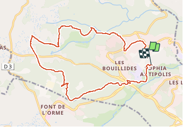

Length
11.4 km

Max alt
248 m

Uphill gradient
267 m
Km-Effort
14.9 km

Min alt
133 m

Downhill gradient
259 m
Boucle
No
Creation date :
2021-04-06 06:37:49.581
Updated on :
2021-04-06 10:03:56.583
3h25
Difficulty : Very easy

FREE GPS app for hiking
 SityTrail
IGN / Geographical institutes
SityTrail Plus
The world is yours!
About
Trail Walking of 11.4 km to be discovered at Provence-Alpes-Côte d'Azur, Maritime Alps, Valbonne. This trail is proposed by winkelmuller.
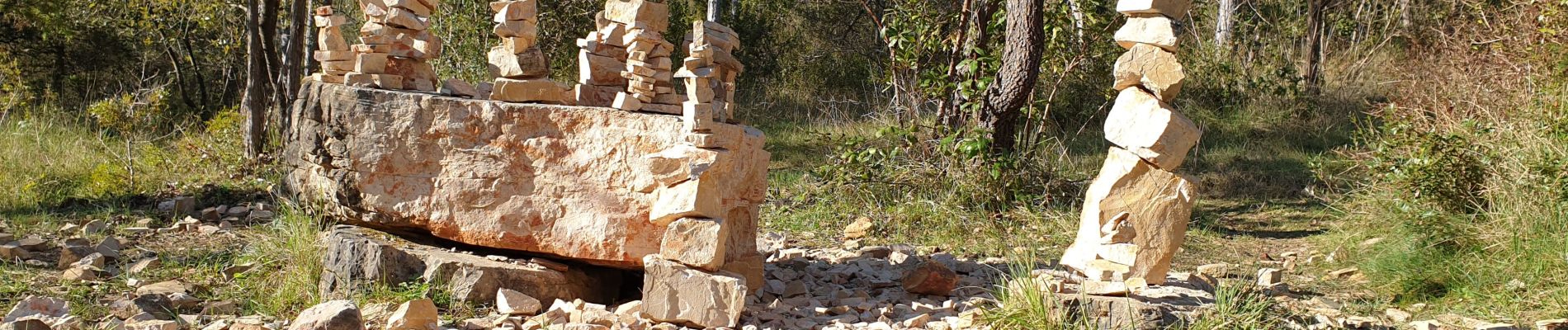
Photos

Positioning
Country:
France
Region :
Provence-Alpes-Côte d'Azur
Department/Province :
Maritime Alps
Municipality :
Valbonne
Location:
Unknown
Start:(Dec)
Start:(UTM)
342267 ; 4831855 (32T) N.
Comments