


Autour de Mirabel

Glurps
User
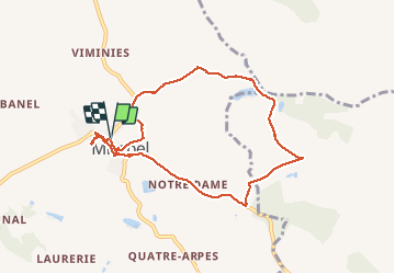

Length
8.6 km

Max alt
210 m

Uphill gradient
161 m
Km-Effort
10.7 km

Min alt
123 m

Downhill gradient
163 m
Boucle
Yes
Creation date :
2021-04-10 13:02:56.0
Updated on :
2021-04-10 14:49:18.39
1h47
Difficulty : Very easy

FREE GPS app for hiking
 SityTrail
IGN / Geographical institutes
SityTrail Plus
The world is yours!
About
Trail Walking of 8.6 km to be discovered at Occitania, Tarn-et-Garonne, Mirabel. This trail is proposed by Glurps.
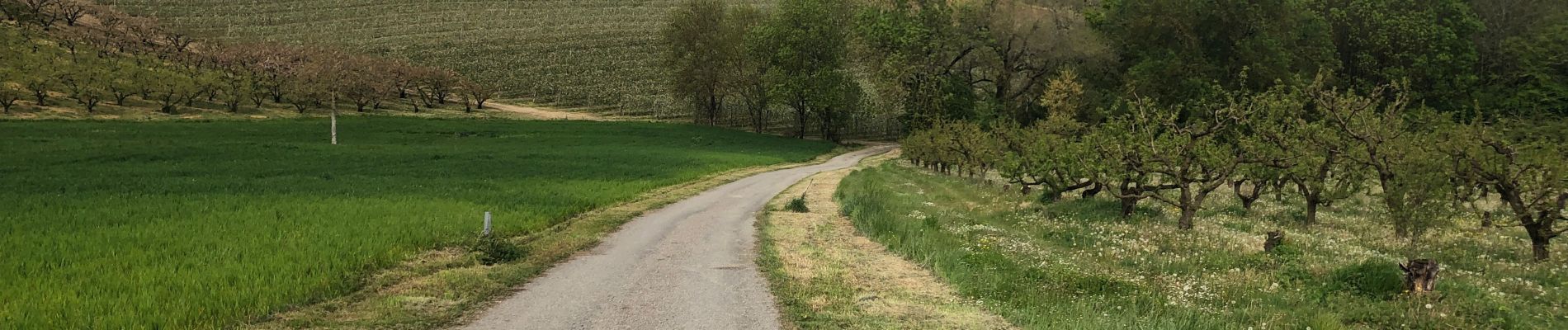
Description
Chemin au début obstrué par végétation, et chemin à la fin dans les vergers disparu obligé de passer à travers champ
Photos


29 photos in total. Please click on a photo to see them all in the gallery.
Positioning
Country:
France
Region :
Occitania
Department/Province :
Tarn-et-Garonne
Municipality :
Mirabel
Location:
Unknown
Start:(Dec)
Start:(UTM)
373602 ; 4889189 (31T) N.
Comments