


2021-04-10_17h07m43_habay-anlier

ochelen
User
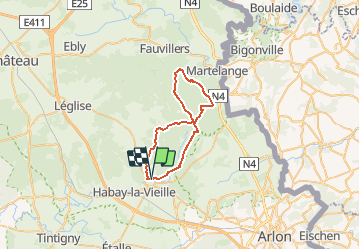

Length
34 km

Max alt
517 m

Uphill gradient
673 m
Km-Effort
43 km

Min alt
372 m

Downhill gradient
677 m
Boucle
Yes
Creation date :
2021-04-10 15:07:43.409
Updated on :
2021-04-10 15:07:45.541

FREE GPS app for hiking
 SityTrail
IGN / Geographical institutes
SityTrail Plus
The world is yours!
About
Trail of 34 km to be discovered at Wallonia, Luxembourg, Habay. This trail is proposed by ochelen.
Positioning
Country:
Belgium
Region :
Wallonia
Department/Province :
Luxembourg
Municipality :
Habay
Location:
Habay-la-Neuve
Start:(Dec)
Start:(UTM)
690713 ; 5512425 (31U) N.
Comments