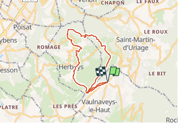
Circuit Uriage-Fort des Quatre Seigneurs-Herbeys

ranchoup
User


5h11
Difficulty : Easy

FREE GPS app for hiking
 SityTrail
IGN / Geographical institutes
SityTrail Plus
The world is yours!
About
Trail Walking of 15.1 km to be discovered at Auvergne-Rhône-Alpes, Isère, Vaulnaveys-le-Haut. This trail is proposed by ranchoup.
Description
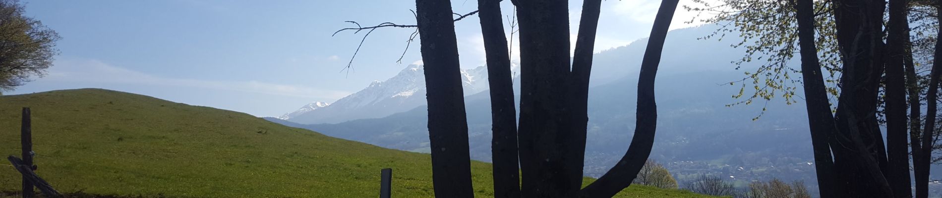
Jolie boucle forestière et campagnarde au dessus d'Uriage et Herbeys, en passant par le fort des Quatre Seigneurs.
Chemins larges et tranquilles sur la majorité du circuit.
Sauf la montée entre Villeneuve par le chemin des 4 Seigneurs est assez raide (mais possibilité de contourner par un itinéraire moins pentu. Le site du fort lui-même n'est pas terrible, propriété privée, pas la peine de s'y attarder.
Photos


Positioning
Comments