


Seloignes 140421

guyernage25
User
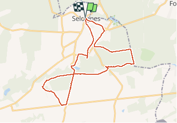

Length
18 km

Max alt
318 m

Uphill gradient
260 m
Km-Effort
21 km

Min alt
253 m

Downhill gradient
260 m
Boucle
Yes
Creation date :
2021-04-14 07:44:28.966
Updated on :
2021-04-14 14:57:35.749
4h05
Difficulty : Easy

FREE GPS app for hiking
 SityTrail
IGN / Geographical institutes
SityTrail Plus
The world is yours!
About
Trail Walking of 18 km to be discovered at Wallonia, Hainaut, Momignies. This trail is proposed by guyernage25.
Description
balade mi champetre mi forestiere dans la vallée de l Oise.
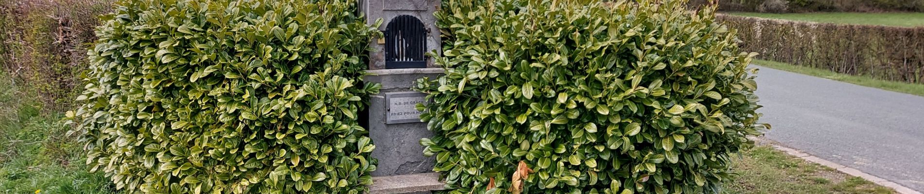
Photos


Positioning
Country:
Belgium
Region :
Wallonia
Department/Province :
Hainaut
Municipality :
Momignies
Location:
Seloignes
Start:(Dec)
Start:(UTM)
589918 ; 5541159 (31U) N.
Comments