


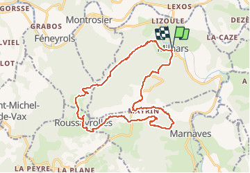
81-Milhars-La Gresinhola

Jovila
User

Length
20 km

Max alt
463 m

Uphill gradient
576 m
Km-Effort
28 km

Min alt
145 m

Downhill gradient
576 m
Boucle
Yes
Creation date :
2021-04-14 08:19:29.087
Updated on :
2021-04-23 19:44:05.685
6h00
Difficulty : Medium

FREE GPS app for hiking
 SityTrail
IGN / Geographical institutes
SityTrail Plus
The world is yours!
About
Trail Walking of 20 km to be discovered at Occitania, Tarn, Milhars. This trail is proposed by Jovila.
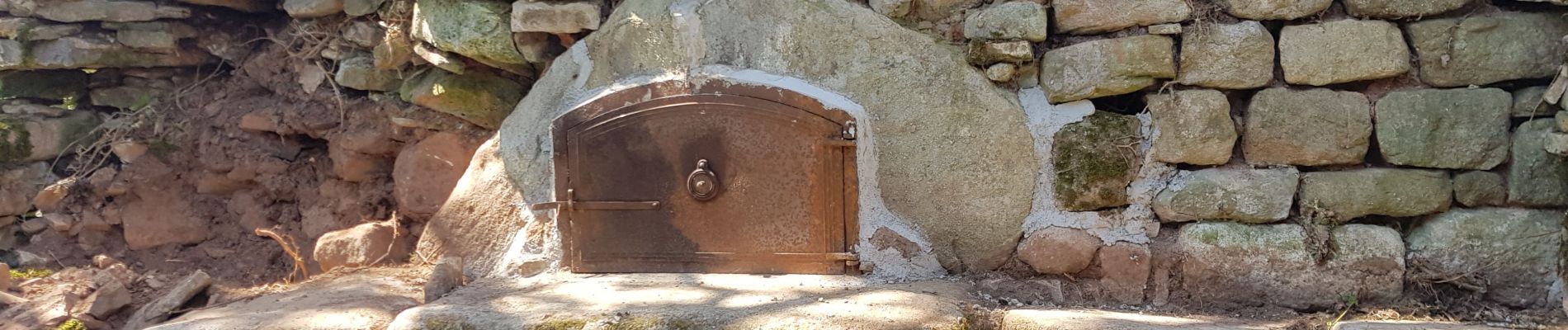
Photos


Positioning
Country:
France
Region :
Occitania
Department/Province :
Tarn
Municipality :
Milhars
Location:
Unknown
Start:(Dec)
Start:(UTM)
410330 ; 4886662 (31T) N.
Comments