


boucle du bois Sonnier

bena42
User
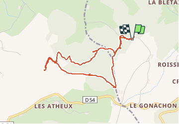

Length
4.6 km

Max alt
873 m

Uphill gradient
101 m
Km-Effort
6 km

Min alt
810 m

Downhill gradient
101 m
Boucle
Yes
Creation date :
2021-04-15 13:19:38.673
Updated on :
2021-04-15 15:21:22.718
2h01
Difficulty : Easy

FREE GPS app for hiking
 SityTrail
IGN / Geographical institutes
SityTrail Plus
The world is yours!
About
Trail Walking of 4.6 km to be discovered at Auvergne-Rhône-Alpes, Loire, Fontanès. This trail is proposed by bena42.
Photos


Positioning
Country:
France
Region :
Auvergne-Rhône-Alpes
Department/Province :
Loire
Municipality :
Fontanès
Location:
Unknown
Start:(Dec)
Start:(UTM)
611112 ; 5043369 (31T) N.
Comments