Kalterherberg - rocher du Bieley

ericferon
User


6h24
Difficulty : Difficult

FREE GPS app for hiking
 SityTrail
IGN / Geographical institutes
SityTrail Plus
The world is yours!
About
Trail Walking of 17 km to be discovered at North Rhine-Westphalia, Städteregion Aachen, Monschau. This trail is proposed by ericferon.
Description
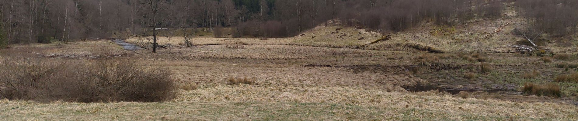
Promenade aux confins du camp militaire d'Elsenborn, via une vallée remplie de jonquilles (en saison), jusqu'à un rocher avec un très beau point de vue.
Départ au railbike des Hautes-Fagnes (et non de l'endroit indiqué par Sitytrail !)
Photos


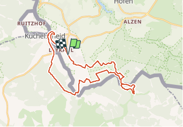
Positioning
Comments