


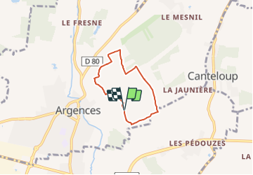
1#Les hauteurs d'Argences

yannick-p
User

Length
4.2 km

Max alt
72 m

Uphill gradient
28 m
Km-Effort
4.6 km

Min alt
59 m

Downhill gradient
28 m
Boucle
Yes
Creation date :
2021-04-15 20:43:53.921
Updated on :
2021-06-04 10:01:28.403
2h00
Difficulty : Easy

FREE GPS app for hiking
 SityTrail
IGN / Geographical institutes
SityTrail Plus
The world is yours!
About
Trail Geocaching of 4.2 km to be discovered at Normandy, Calvados, Argences. This trail is proposed by yannick-p.
Description
Petit circuit de géocaching de 20 caches.
Positioning
Country:
France
Region :
Normandy
Department/Province :
Calvados
Municipality :
Argences
Location:
Unknown
Start:(Dec)
Start:(UTM)
707715 ; 5445478 (30U) N.
Comments