


Le sentier du Renard 🦊 l'Apage

Gegetop
User


Length
6 km

Max alt
663 m

Uphill gradient
220 m
Km-Effort
9 km

Min alt
449 m

Downhill gradient
218 m
Boucle
Yes
Creation date :
2021-04-18 11:50:47.272
Updated on :
2021-04-18 13:26:50.664
1h45
Difficulty : Medium
1h32
Difficulty : Medium

FREE GPS app for hiking
 SityTrail
IGN / Geographical institutes
SityTrail Plus
The world is yours!
About
Trail Walking of 6 km to be discovered at Auvergne-Rhône-Alpes, Puy-de-Dôme, Enval. This trail is proposed by Gegetop.
Description
Dénivelé important à faire en marche nordique.
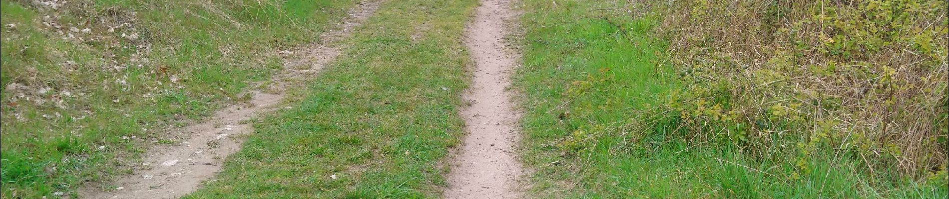
Photos

Positioning
Country:
France
Region :
Auvergne-Rhône-Alpes
Department/Province :
Puy-de-Dôme
Municipality :
Enval
Location:
Unknown
Start:(Dec)
Start:(UTM)
503902 ; 5082171 (31T) N.
Comments