


autodrome

godmer
User

Length
48 km

Max alt
171 m

Uphill gradient
491 m
Km-Effort
55 km

Min alt
37 m

Downhill gradient
491 m
Boucle
Yes
Creation date :
2021-04-18 06:36:09.013
Updated on :
2025-08-16 08:57:26.78
3h47
Difficulty : Very difficult

FREE GPS app for hiking
 SityTrail
IGN / Geographical institutes
SityTrail Plus
The world is yours!
About
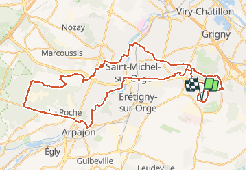
Trail Mountain bike of 48 km to be discovered at Ile-de-France, Essonne, Bondoufle. This trail is proposed by godmer.
Positioning
Country:
France
Region :
Ile-de-France
Department/Province :
Essonne
Municipality :
Bondoufle
Location:
Unknown
Start:(Dec)
Start:(UTM)
453679 ; 5384451 (31U) N.
Comments