


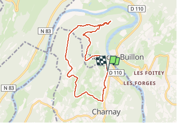

7.2 km | 9.4 km-effort

User


FREE GPS app for hiking
 SityTrail
IGN / Geographical institutes
SityTrail World
The world is yours!
Trail Walking of 8.1 km to be discovered at Bourgogne-Franche-Comté, Doubs, Charnay. This trail is proposed by eltonnermou.
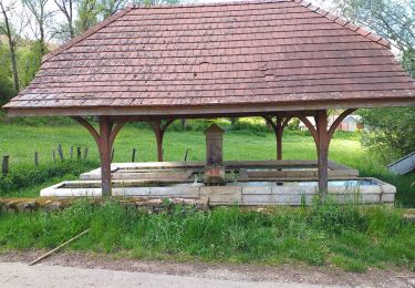
parking sur le bas côté de la rue ; randonnée en groupe
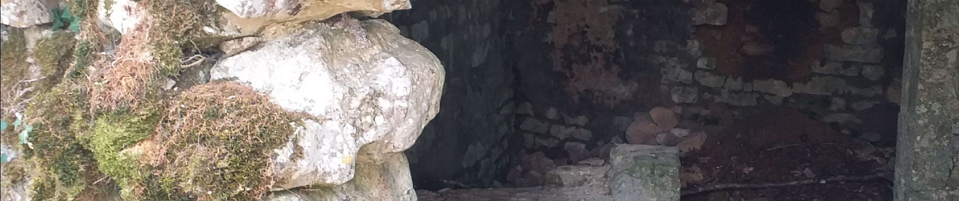
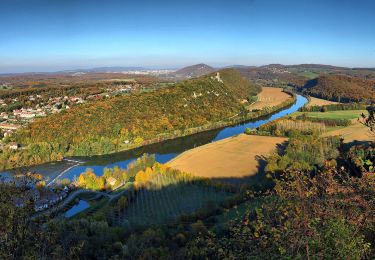
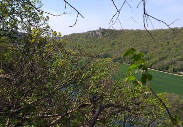
randonnée agréable à travers prairies et forêts qui à cette saison nous fait profiter de ses éclats de couleur. 2 petits raidillons à gravir mais rien de bien extraordinaire, pour une arrivée aux ruine du château de Charencey (au dessus de Chenecey Buillon).
Laissez vous surprendre par le passage d’un ou plusieurs chevreuils et dans les parties escarpées de voir des chamois.


On foot
On foot
On foot
On foot
On foot
Walking
Walking
Walking
Walking