


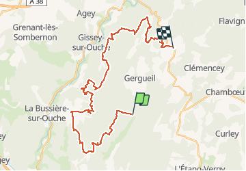


12.1 km | 15.5 km-effort


User


FREE GPS app for hiking
 SityTrail
IGN / Geographical institutes
SityTrail World
The world is yours!
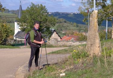
Trail Walking of 38 km to be discovered at Bourgogne-Franche-Comté, Côte-d'Or, Gergueil. This trail is proposed by mpstoop.
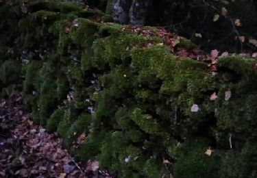
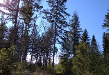
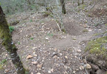
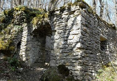
Beau chemins forestiers giboyeux,accessibles en VTT ;fortes dénivelées et combes profondes,rochers, arbres remarquables ,falaises avec vues étendues, grotte, fermes et puits recouverts par la forêt, camps militaire Allemand rasé et regagné par la végetation : c'est une longue journée d'aventure sportive , énigme et contemplation qui marquera durablement vos souvenirs .


Walking

Walking
Walking
Walking
On foot
Walking

Walking
Walking

Mountain bike