


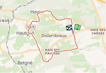
dolrmbreux . hayen . hautgne . dolembreux

stef789
User GUIDE

Length
7.4 km

Max alt
250 m

Uphill gradient
156 m
Km-Effort
9.5 km

Min alt
168 m

Downhill gradient
157 m
Boucle
Yes
Creation date :
2021-04-21 13:35:37.779
Updated on :
2021-04-21 16:14:02.209
2h07
Difficulty : Very easy

FREE GPS app for hiking
 SityTrail
IGN / Geographical institutes
SityTrail Plus
The world is yours!
About
Trail Walking of 7.4 km to be discovered at Wallonia, Liège, Sprimont. This trail is proposed by stef789.
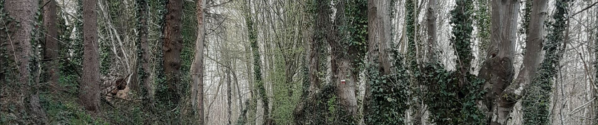
Photos


Positioning
Country:
Belgium
Region :
Wallonia
Department/Province :
Liège
Municipality :
Sprimont
Location:
Dolembreux
Start:(Dec)
Start:(UTM)
686817 ; 5601719 (31U) N.
Comments