


St-Jean-d'Arvey-Thoiry-2021-04-23

Valmeinier
User
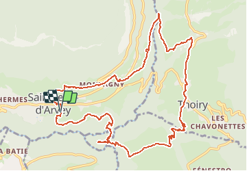

Length
13.2 km

Max alt
676 m

Uphill gradient
503 m
Km-Effort
19.9 km

Min alt
424 m

Downhill gradient
497 m
Boucle
Yes
Creation date :
2021-04-24 17:34:48.911
Updated on :
2021-04-24 17:43:39.194
--
Difficulty : Medium

FREE GPS app for hiking
 SityTrail
IGN / Geographical institutes
SityTrail Plus
The world is yours!
About
Trail Walking of 13.2 km to be discovered at Auvergne-Rhône-Alpes, Savoy, Saint-Jean-d'Arvey. This trail is proposed by Valmeinier.
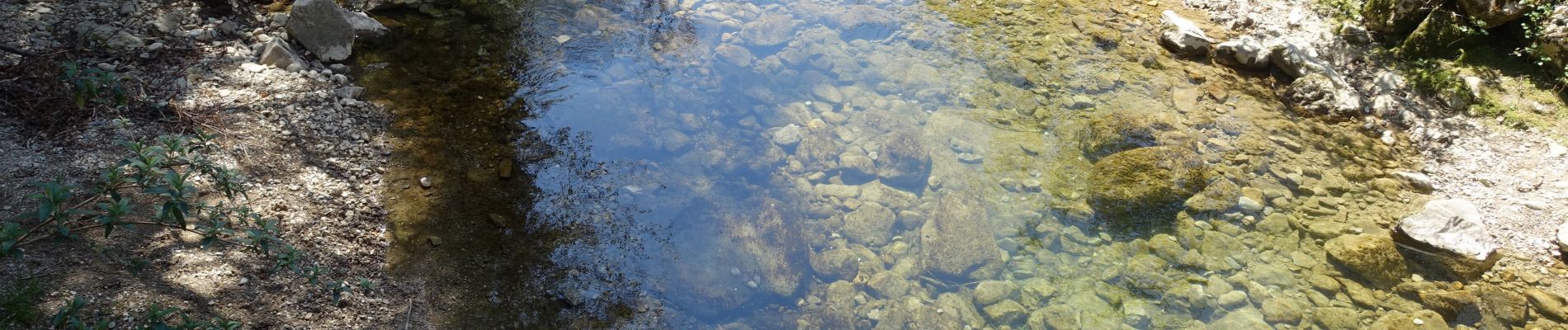
Photos


Positioning
Country:
France
Region :
Auvergne-Rhône-Alpes
Department/Province :
Savoy
Municipality :
Saint-Jean-d'Arvey
Location:
Unknown
Start:(Dec)
Start:(UTM)
733868 ; 5052269 (31T) N.
Comments