


St-Alban-Curienne-2021-04-24

Valmeinier
User
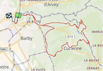

Length
14.9 km

Max alt
793 m

Uphill gradient
676 m
Km-Effort
24 km

Min alt
317 m

Downhill gradient
675 m
Boucle
Yes
Creation date :
2021-04-24 17:34:50.703
Updated on :
2021-04-24 17:38:07.162
--
Difficulty : Medium

FREE GPS app for hiking
 SityTrail
IGN / Geographical institutes
SityTrail Plus
The world is yours!
About
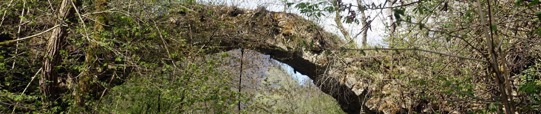
Trail Walking of 14.9 km to be discovered at Auvergne-Rhône-Alpes, Savoy, Saint-Alban-Leysse. This trail is proposed by Valmeinier.
Photos


Positioning
Country:
France
Region :
Auvergne-Rhône-Alpes
Department/Province :
Savoy
Municipality :
Saint-Alban-Leysse
Location:
Unknown
Start:(Dec)
Start:(UTM)
732019 ; 5051426 (31T) N.
Comments