


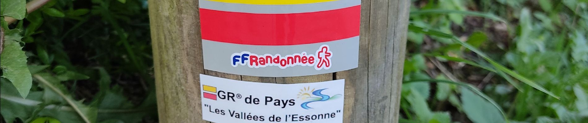
Vauboyen depuis Igny et la forêt de Verrieres

c.chehere
User
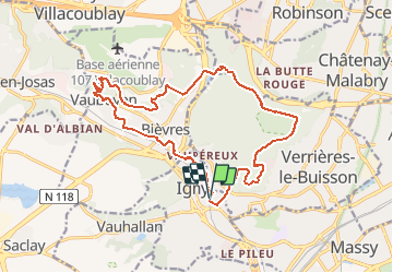

Length
17.2 km

Max alt
180 m

Uphill gradient
309 m
Km-Effort
21 km

Min alt
63 m

Downhill gradient
309 m
Boucle
Yes
Creation date :
2021-04-27 06:06:08.923
Updated on :
2021-04-27 14:57:11.079
3h32
Difficulty : Easy

FREE GPS app for hiking
 SityTrail
IGN / Geographical institutes
SityTrail Plus
The world is yours!
About
Trail Walking of 17.2 km to be discovered at Ile-de-France, Essonne, Igny. This trail is proposed by c.chehere.
Photos


Positioning
Country:
France
Region :
Ile-de-France
Department/Province :
Essonne
Municipality :
Igny
Location:
Unknown
Start:(Dec)
Start:(UTM)
443481 ; 5398844 (31U) N.
Comments