


de claret vers corconne

labarone
User
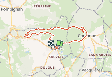

Length
18.8 km

Max alt
414 m

Uphill gradient
500 m
Km-Effort
25 km

Min alt
146 m

Downhill gradient
500 m
Boucle
Yes
Creation date :
2021-04-27 06:46:01.181
Updated on :
2021-04-27 13:46:18.659
6h59
Difficulty : Medium

FREE GPS app for hiking
 SityTrail
IGN / Geographical institutes
SityTrail Plus
The world is yours!
About
Trail Walking of 18.8 km to be discovered at Occitania, Hérault, Claret. This trail is proposed by labarone.
Description
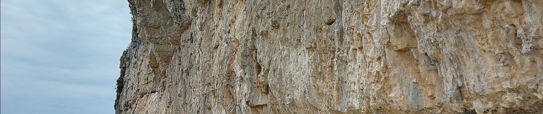
belle rando à travers les falaises
une descente faisable mais un peu delicate
Photos


22 photos in total. Please click on a photo to see them all in the gallery.
Positioning
Country:
France
Region :
Occitania
Department/Province :
Hérault
Municipality :
Claret
Location:
Unknown
Start:(Dec)
Start:(UTM)
572716 ; 4856790 (31T) N.
Comments