Rouge Minières ac

colsonandre
User
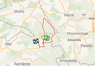

Length
7.4 km

Max alt
377 m

Uphill gradient
132 m
Km-Effort
9.3 km

Min alt
272 m

Downhill gradient
173 m
Boucle
No
Creation date :
2021-04-28 07:25:21.234
Updated on :
2021-04-28 09:45:58.26
2h19
Difficulty : Medium

FREE GPS app for hiking
 SityTrail
IGN / Geographical institutes
SityTrail Plus
The world is yours!
About
Trail Walking of 7.4 km to be discovered at Wallonia, Liège, Ferrières. This trail is proposed by colsonandre.
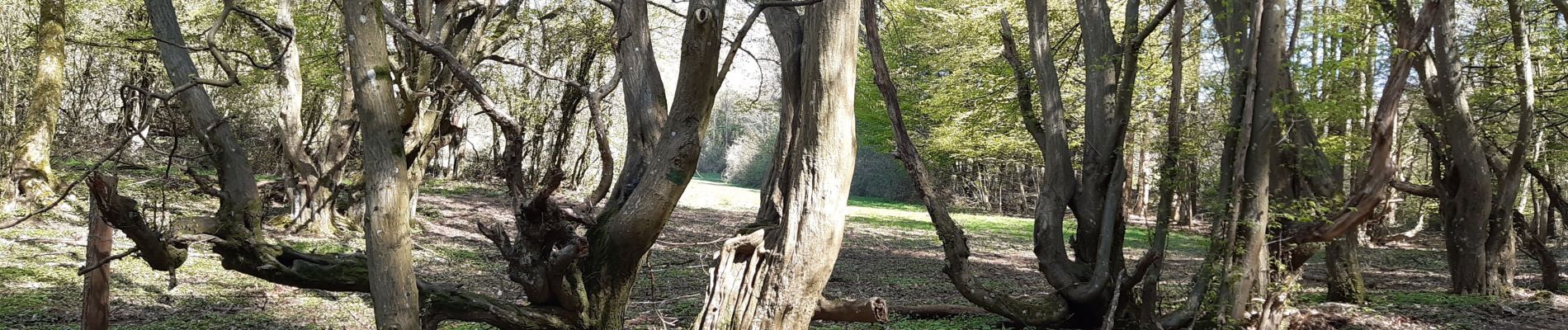
Photos


Positioning
Country:
Belgium
Region :
Wallonia
Department/Province :
Liège
Municipality :
Ferrières
Location:
Ferrières
Start:(Dec)
Start:(UTM)
687080 ; 5588300 (31U) N.
Comments