


Alleriot le Patrimoine page 127

grasgilbert
User
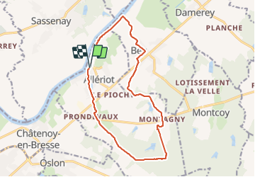

Length
15.2 km

Max alt
217 m

Uphill gradient
134 m
Km-Effort
17 km

Min alt
170 m

Downhill gradient
133 m
Boucle
Yes
Creation date :
2021-04-29 10:36:25.666
Updated on :
2021-08-05 15:13:41.084
4h30
Difficulty : Easy

FREE GPS app for hiking
 SityTrail
IGN / Geographical institutes
SityTrail Plus
The world is yours!
About
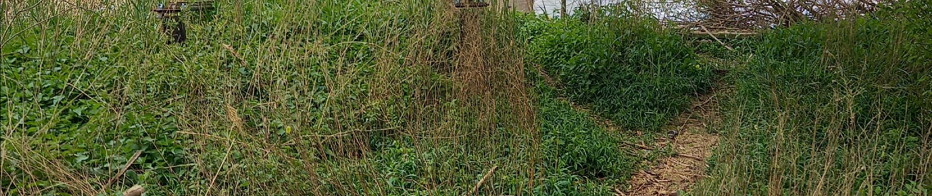
Trail Walking of 15.2 km to be discovered at Bourgogne-Franche-Comté, Saône-et-Loire, Allériot. This trail is proposed by grasgilbert.
Photos

Positioning
Country:
France
Region :
Bourgogne-Franche-Comté
Department/Province :
Saône-et-Loire
Municipality :
Allériot
Location:
Unknown
Start:(Dec)
Start:(UTM)
647923 ; 5186450 (31T) N.
Comments