


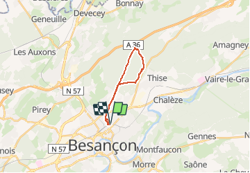

16.8 km | 24 km-effort


User


FREE GPS app for hiking
 SityTrail
IGN / Geographical institutes
SityTrail World
The world is yours!
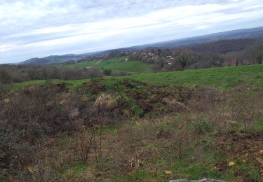
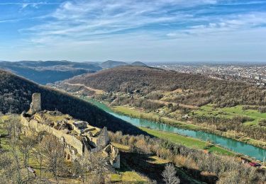
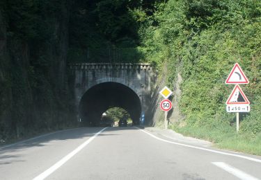
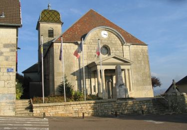
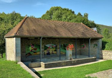
Trail Walking of 15.3 km to be discovered at Bourgogne-Franche-Comté, Doubs, Besançon. This trail is proposed by legios84.
départ et retour en ville plus rando route forestière


Walking

Walking
Walking
On foot

On foot
On foot
On foot
On foot
On foot